
Ketchikan International Airport
Ketchikan, United States
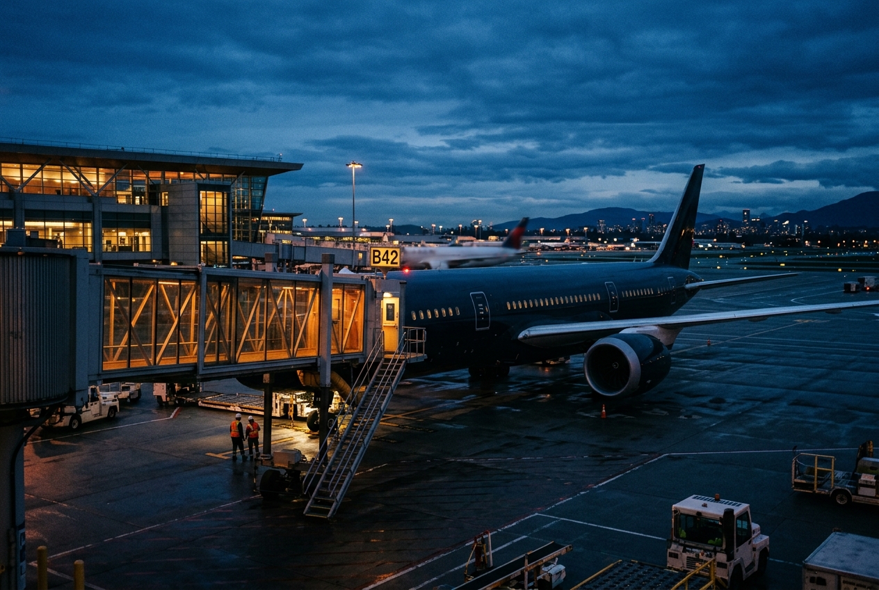
Ketchikan International Airport
Southeast Alaska's gateway, perched beside the sea.
- ›The airport is located on Gravina Island, separated from Ketchikan by the Tongass Narrows.
- ›A controversial 2005 U.S. Congressional earmark proposed building a bridge to replace the ferry, dubbed the 'Bridge to Nowhere.'
- ›The state-operated ferry connecting the airport to the city runs 24 hours a day.
- ›Ketchikan receives some of the highest annual rainfall of any city in the United States, impacting flight operations.
- ›The airport sits at an elevation of approximately 89 feet above sea level.
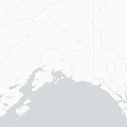
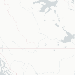
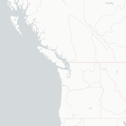
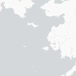
Route map (13 destinations)




Airlines serving this airport
Routes
Pick what matters for your layover or early flight, then compare on your favorite booking site.
IndianAirports may receive compensation when you book or purchase through some of the links on this page, at no additional cost to you. Prices and availability are set by the booking provider and may change. We never share your private trip details with partners — only the destination, dates and party size you searched.
City & Place Guide
No guide exists for this place yet — Click to generate a Traveler Pulse guide.
Passport, Visa & Immigration
Flying internationally via KTN? Check entry, transit and customs requirements for United States from official government sources.

Ketchikan International Airport is a state-owned, public-use airport located one nautical mile (2 km) west of the central business district of Ketchikan, a city in Ketchikan Gateway Borough in Alaska, that has no direct road access to the outside world or to the airport. The airport is located on Gravina Island, just west of Ketchikan on the other side of the Tongass Narrows. Passengers must take a seven-minute ferry ride across the water to get to the airport from the town.
Read full article on Wikipedia