
Southeast Iowa Regional Airport
Burlington, United States
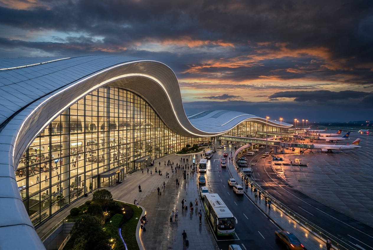
Southeast Iowa Regional Airport
Southeast Iowa's primary commercial gateway on the Mississippi.
- ›Located approximately 3 miles northwest of downtown Burlington, Iowa.
- ›Designated an Essential Air Service (EAS) community, receiving federal subsidies for scheduled air service.
- ›The airport sits at an elevation of approximately 698 feet above mean sea level.
- ›Runway 12/30 is the primary runway, measuring approximately 6,699 feet in length.
- ›Serves a tri-state catchment area covering southeastern Iowa, western Illinois, and northeastern Missouri.
Route map (2 destinations)



Airlines serving this airport
Routes
Aircraft operating here
Pick what matters for your layover or early flight, then compare on your favorite booking site.
IndianAirports may receive compensation when you book or purchase through some of the links on this page, at no additional cost to you. Prices and availability are set by the booking provider and may change. We never share your private trip details with partners — only the destination, dates and party size you searched.
City & Place Guide
No guide exists for this place yet — Click to generate a Traveler Pulse guide.
Passport, Visa & Immigration
Flying internationally via BRL? Check entry, transit and customs requirements for United States from official government sources.

Southeast Iowa Regional Airport – also known as SIRA – is a public airport located two miles southwest of Burlington, in Des Moines County, Iowa. It is owned by the Southeast Iowa Regional Airport Authority which includes representatives from the city of Burlington, the city of West Burlington, and Des Moines County. The airport is used for general aviation and sees one airline, a service subsidized by the federal government's Essential Air Service program at a cost of $1,917,566.
Read full article on Wikipedia