 Translate
Shenandoah Valley Regional Airport
Weyers Cave, United States
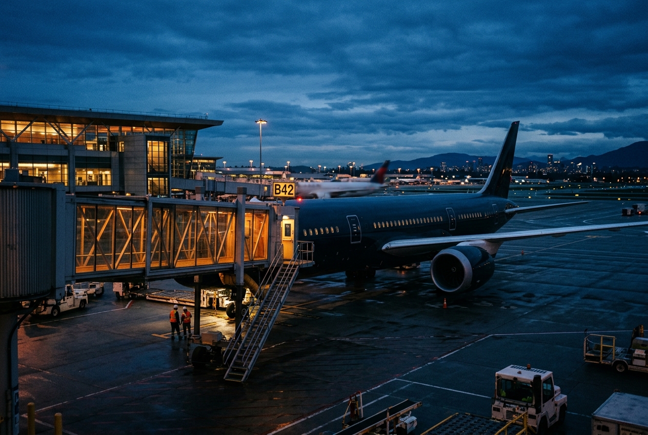
Shenandoah Valley Regional Airport
Serving Virginia's scenic Shenandoah Valley since mid-century.
- ›Located in Augusta County, Virginia, at an elevation of approximately 1,201 feet above sea level.
- ›The airport has two runways supporting both general aviation and occasional commercial traffic.
- ›It serves as an alternative gateway to the Shenandoah Valley tourism corridor, including Skyline Drive and the Blue Ridge Parkway.
- ›The airport is owned by a regional commission representing multiple local jurisdictions in the Shenandoah Valley.
- ›IATA code SHD reflects its regional identity as the primary commercial aviation facility for the Shenandoah Valley.
Route map (1 destinations)



Airlines serving this airport
Routes
Aircraft operating here
Pick what matters for your layover or early flight, then compare on your favorite booking site.
IndianAirports may receive compensation when you book or purchase through some of the links on this page, at no additional cost to you. Prices and availability are set by the booking provider and may change. We never share your private trip details with partners — only the destination, dates and party size you searched.
City & Place Guide
No guide exists for this place yet — Click to generate a Traveler Pulse guide.
Passport, Visa & Immigration
Flying internationally via SHD? Check entry, transit and customs requirements for United States from official government sources.
Shenandoah Valley Regional Airport is in the census-designated place of Weyers Cave, Virginia, United States, 5 miles (8.0 km) west of the Town of Grottoes and 12 miles (19 km) northeast of the City of Staunton. It is used for general aviation and is served by one airline, subsidized by the Essential Air Service program.
Read full article on Wikipedia