
Bella Coola Airport
Bella Coola, Canada
Bella Coola Airport
Remote gateway to British Columbia's Central Coast wilderness.
- ›Bella Coola is located at the head of a fjord in the Coast Mountains of British Columbia.
- ›The airport elevation is approximately 117 feet (36 metres) above sea level.
- ›Access by road requires traveling the notorious 'Freedom Road' (Highway 20) through the Chilcotin Plateau.
- ›The airport serves as a lifeline link for medical evacuations and essential supplies.
- ›Tweedsmuir Provincial Park, one of BC's largest parks, is accessible from the Bella Coola Valley.
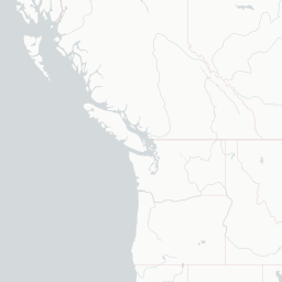
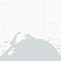
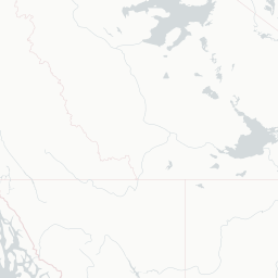
Route map (2 destinations)







Airlines serving this airport
Routes
Aircraft operating here
Pick what matters for your layover or early flight, then compare on your favorite booking site.
IndianAirports may receive compensation when you book or purchase through some of the links on this page, at no additional cost to you. Prices and availability are set by the booking provider and may change. We never share your private trip details with partners — only the destination, dates and party size you searched.
City & Place Guide
No guide exists for this place yet — Click to generate a Traveler Pulse guide.
Passport, Visa & Immigration
Flying internationally via QBC? Check entry, transit and customs requirements for Canada from official government sources.

Bella Coola Airport is located 6 nautical miles northeast of Bella Coola, British Columbia, Canada.
Read full article on Wikipedia