
Point Lay LRRS Airport
Point Lay, United States

Point Lay LRRS Airport
Remote Arctic Alaska airport serving the Point Lay community.
- ›LRRS stands for Long Range Radar Site, reflecting its Cold War DEW Line origins.
- ›The airport is owned by the U.S. Air Force and shared with civilian operations.
- ›Point Lay has a population of approximately 200, predominantly Inupiat Eskimo.
- ›The single runway is approximately 4,500 feet long and can accommodate small turboprop aircraft.
- ›The airport is located above the Arctic Circle, experiencing extreme seasonal daylight variations.
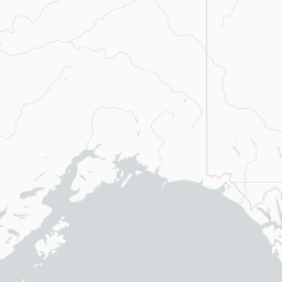
Route map (2 destinations)











Airlines serving this airport
Routes
Aircraft operating here
Pick what matters for your layover or early flight, then compare on your favorite booking site.
IndianAirports may receive compensation when you book or purchase through some of the links on this page, at no additional cost to you. Prices and availability are set by the booking provider and may change. We never share your private trip details with partners — only the destination, dates and party size you searched.
City & Place Guide
No guide exists for this place yet — Click to generate a Traveler Pulse guide.
Passport, Visa & Immigration
Flying internationally via PIZ? Check entry, transit and customs requirements for United States from official government sources.
Point Lay LRRS Airport is a public and military use airport owned by the United States Government and located in Point Lay, in the North Slope Borough of the U.S. state of Alaska. It is also known as Point Lay Airport. The acronym LRRS stands for Long Range Radar Site or Long Range Radar Station.
Read full article on WikipediaLatest news
No recent news found.