 Translate
Montrose Regional Airport
Montrose, United States
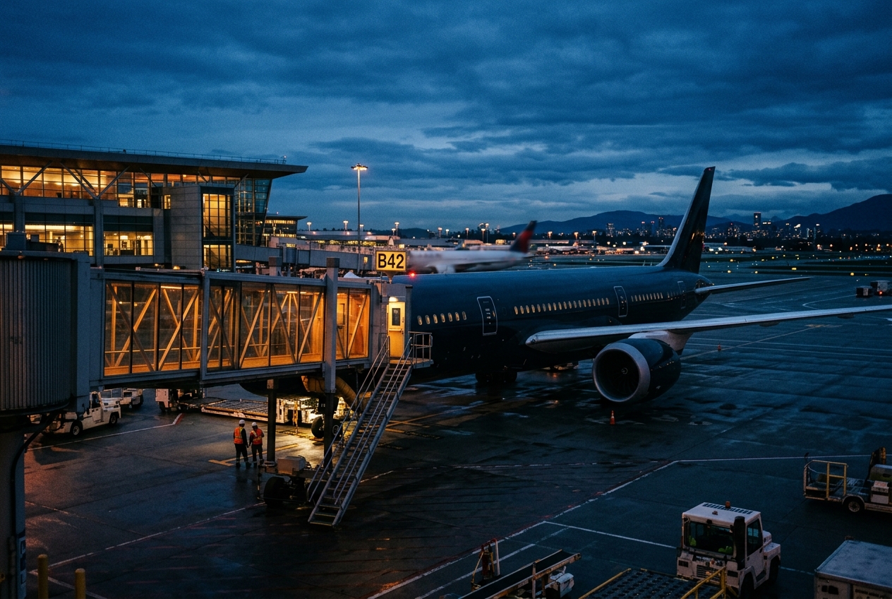
Montrose Regional Airport
Colorado's gateway to the San Juan Mountains and ski country.
- ›Sits at an elevation of approximately 5,759 feet MSL, one of the higher commercial airports in the U.S.
- ›Serves as a key gateway to Telluride Ski Resort, located about 65 miles to the south.
- ›Passenger traffic increases substantially during winter ski season.
- ›Black Canyon of the Gunnison National Park is accessible within roughly 15 miles of the airport.
- ›The airport has received FAA grants to expand and modernize facilities to handle increased traffic.
Route map (1 destinations)




Airlines serving this airport
Routes
Aircraft operating here
Pick what matters for your layover or early flight, then compare on your favorite booking site.
IndianAirports may receive compensation when you book or purchase through some of the links on this page, at no additional cost to you. Prices and availability are set by the booking provider and may change. We never share your private trip details with partners — only the destination, dates and party size you searched.
City & Place Guide
No guide exists for this place yet — Click to generate a Traveler Pulse guide.
Passport, Visa & Immigration
Flying internationally via MTJ? Check entry, transit and customs requirements for United States from official government sources.

Montrose Regional Airport is a non-towered public airport on the northwest side of Montrose, in zip code 81401 in southwestern Colorado. Its two runways are at elevation 5,759 feet. MTJ covers 966 acres of land.
Read full article on Wikipedia