 Translate
Goma International Airport
Goma, Democratic Republic of the Congo
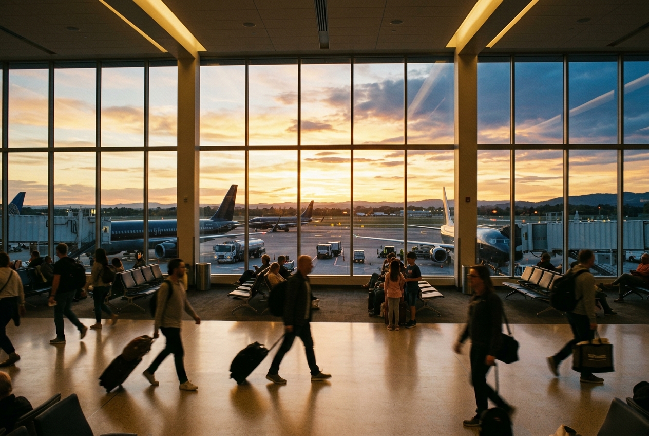
Goma International Airport
Gateway to eastern Congo, serving a volatile volcanic region.
- ›The airport sits at an elevation of approximately 1,535 meters (5,036 feet) above sea level.
- ›Nyiragongo volcano, one of the world's most active volcanoes, is located just north of Goma and poses a direct risk to airport operations.
- ›The 2002 Nyiragongo eruption sent lava flows through parts of Goma, threatening the airport area.
- ›The airport hosts a significant United Nations MONUSCO mission presence, supporting peacekeeping logistics.
- ›The runway length limits the size of aircraft that can operate there, restricting long-haul wide-body operations.
Route map (3 destinations)






Airlines serving this airport
Routes
Aircraft operating here
Pick what matters for your layover or early flight, then compare on your favorite booking site.
IndianAirports may receive compensation when you book or purchase through some of the links on this page, at no additional cost to you. Prices and availability are set by the booking provider and may change. We never share your private trip details with partners — only the destination, dates and party size you searched.
City & Place Guide
No guide exists for this place yet — Click to generate a Traveler Pulse guide.
Passport, Visa & Immigration
Flying internationally via GOM? Check entry, transit and customs requirements for Democratic Republic of the Congo from official government sources.

Goma International Airport, colloquially known by its acronym AIG based on its French name, is the primary international airport serving Goma, the capital of North Kivu province in the Democratic Republic of the Congo. Located in the Karisimbi commune, the airport lies approximately 2 kilometres from Goma's city center and is strategically positioned between the active Nyiragongo volcano to the north and the gas-laden Lake Kivu. The airport is situated along the road to Rutshuru and is bordered by Murara, Virunga, and Majengo neighborhoods to the east and west, Mikeno (Birere) to the south, and Majengo to the north.
Read full article on Wikipedia