 Translate
Comandante FAP German Arias Graziani Airport
Anta, Peru
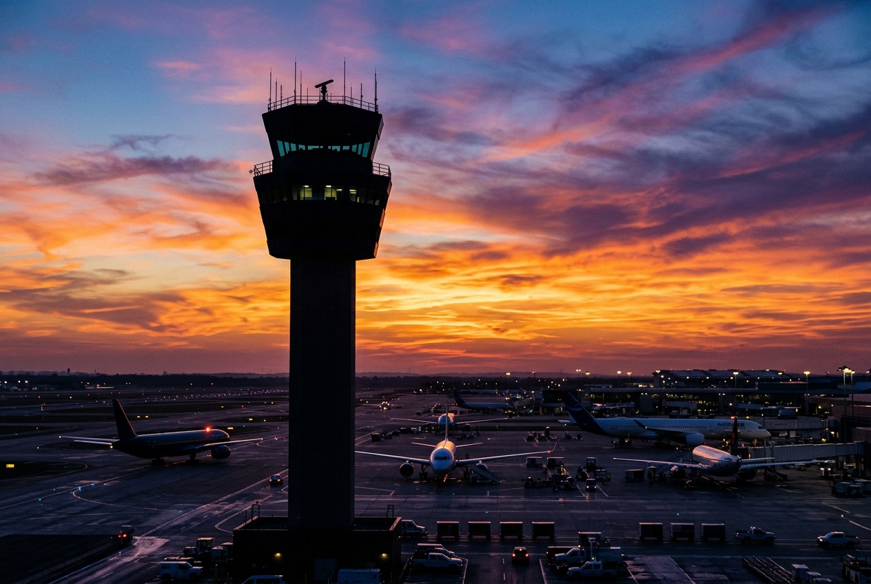
Comandante FAP German Arias Graziani Airport
Gateway to the Cordillera Blanca in Peru's Ancash region.
- ›The airport is located approximately 23 km north of Huaraz, the capital of Ancash region.
- ›It sits at an elevation of roughly 2,719 meters (8,921 feet) above sea level.
- ›The airport is named after Comandante FAP German Arias Graziani, a Peruvian Air Force officer.
- ›It serves as an access point for Huascarán National Park, a UNESCO World Heritage Site.
- ›High-altitude operations require special aircraft performance considerations for takeoff and landing.
Route map (1 destinations)






Airlines serving this airport
Routes
Aircraft operating here
Pick what matters for your layover or early flight, then compare on your favorite booking site.
IndianAirports may receive compensation when you book or purchase through some of the links on this page, at no additional cost to you. Prices and availability are set by the booking provider and may change. We never share your private trip details with partners — only the destination, dates and party size you searched.
City & Place Guide
No guide exists for this place yet — Click to generate a Traveler Pulse guide.
Passport, Visa & Immigration
Flying internationally via ATA? Check entry, transit and customs requirements for Peru from official government sources.

Comandante FAP Germán Arias Graziani Airport is a regional airport serving the city of Huaraz, Ancash Region, Peru. The airport is in the Santa River valley, 20 kilometres (12 mi) northwest of Huaraz, at the village of Anta. Since July 2024, the airport reopened its operations to commercial flights, after the improvement of the terminal and the runway, receiving daily flights operated by LATAM Airlines to the city of Lima.
Read full article on Wikipedia